

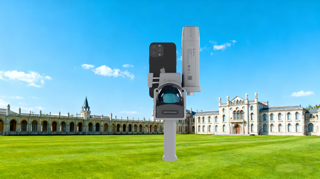


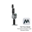


FJD Trion-modell för FJD Trion 3D LiDAR-skannrar
Inkl. moms. Frakt beräknas i kassan
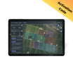
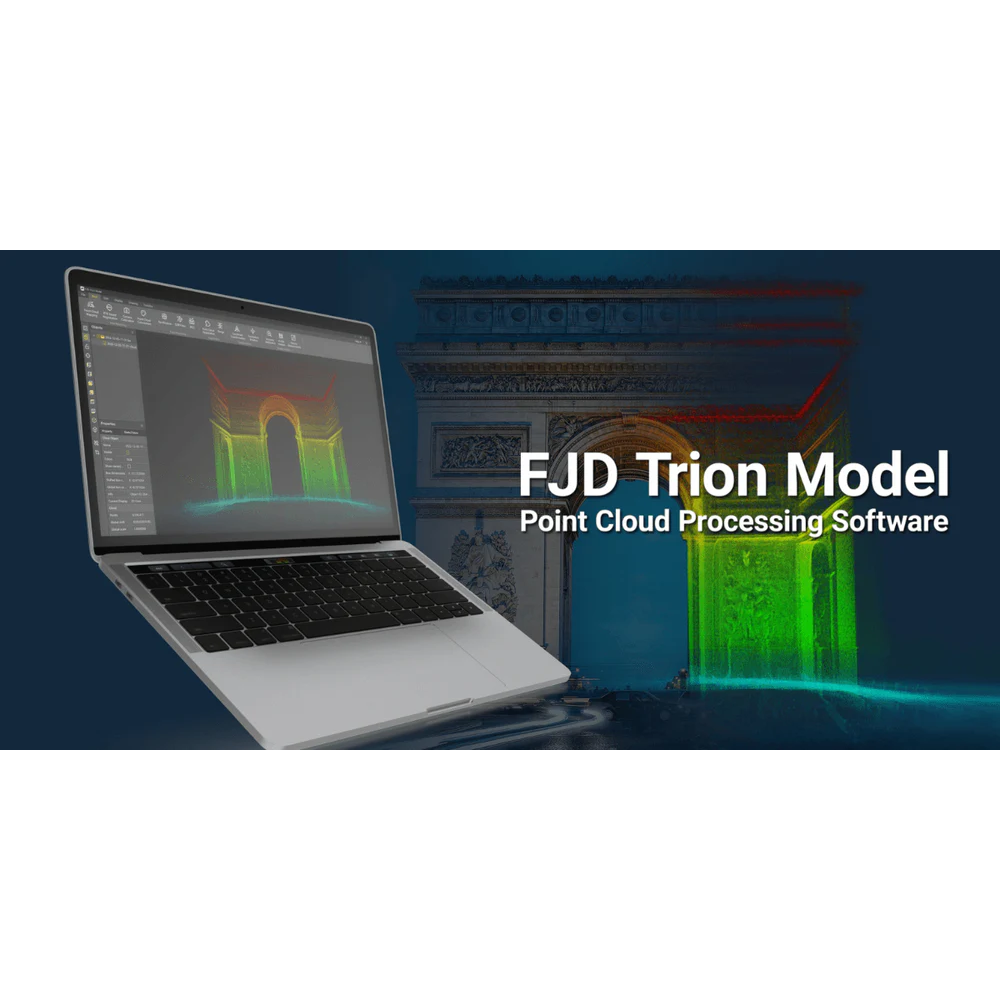
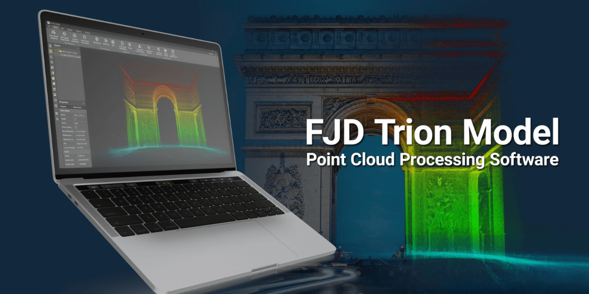
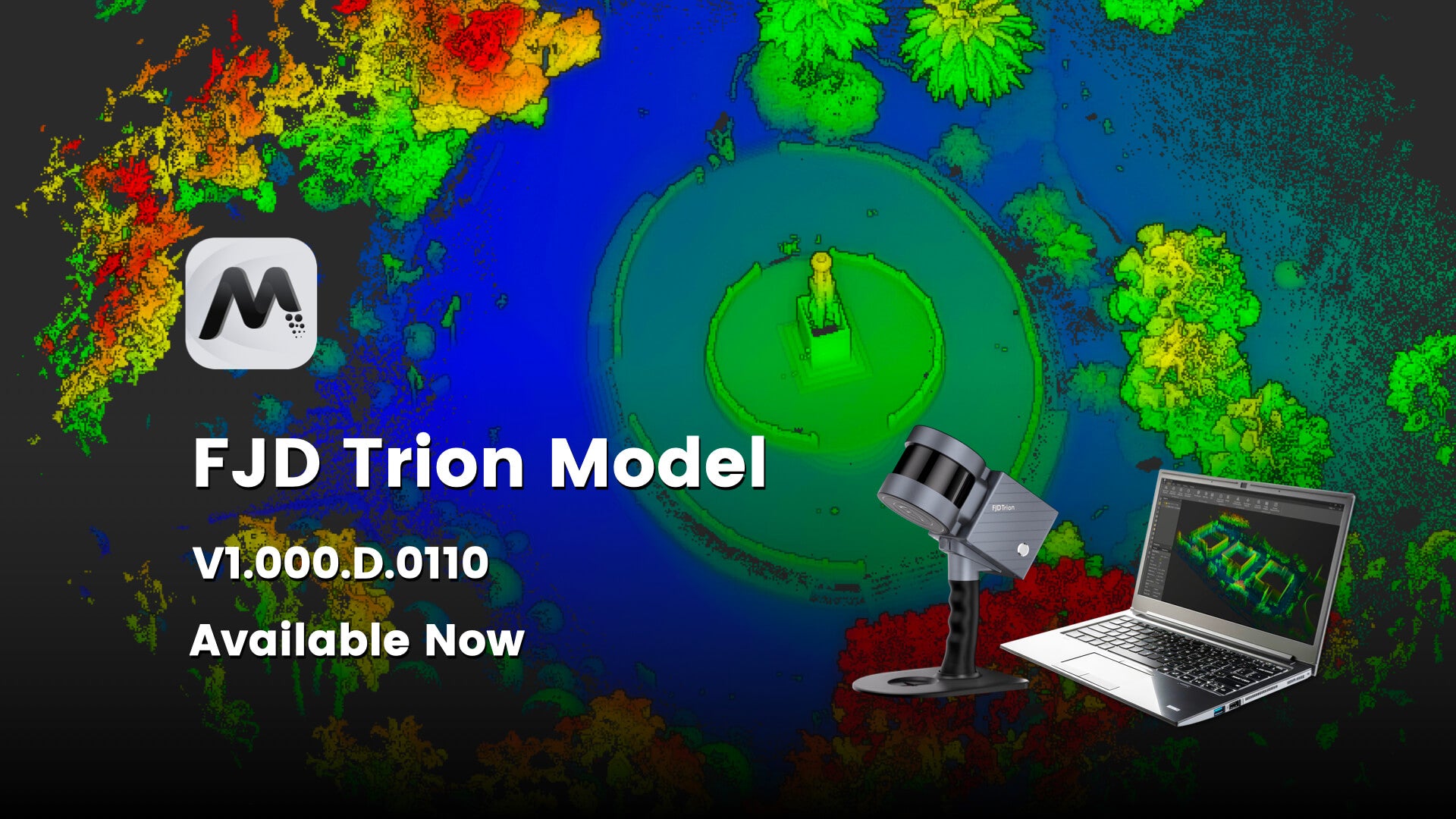
FJD Trion modellpunktmolnsbearbetningsprogramvara
-
Användarvänlig drift och avancerat algoritmstöd
-
Mångsidig allt-i-ett-lösning med integrerade moduler
-
Effektiv 3D Gaussisk Splatting-teknik
-
Kompatibilitet med flera plattformar och bearbetning på språng
-
Omfattande viktiga bearbetningsfunktioner
-
Bekväm datadelning och samarbetsflöden
-
Omfattande tillämpningsscenarier
*Produktnyckeln är endast kompatibel med FJD Trion 3D Lidar Scanner.


Gör punktmolnet enkelt att använda
Med ett användarvänligt gränssnitt och en ledande algoritm erbjuder FJD Tion Model enkel manipulation och analys av punktmolnsdata. Integrerad med skogsbruksmoduler, ritmoduler och robotmappningsmoduler. Modellen effektiviserar dataimport- och analysprocessen, vilket gör den till en komplett lösning. Letar du efter en mångsidig, effektiv och integrerad programvara för punktmolnsbehandling? Modellen är ditt perfekta val!
Stöder olika datakällor. FJD Trion Model stöder data som samlats in från handhållna skannrar, statiska skannrar, luftburna lidarer och autonoma fordon, och stöder populära punktmolnsdataformat, såsom LAS, PLY, PTS och E57.
Allt-i-ett-lösning. Förutom grundläggande punktmolnsbearbetning, punktmolnsfärgning och georefereringsfunktioner integrerar FJD Trion Model även olika branschspecifika applikationer, såsom stadsplanering, skogsbruk, gruvdrift och robotkartläggning.
Punktmolnsrendering. Med fullständig rendering av punktmoln med attribut som intensitet, höjd och GPS-tid är punktmolnet enkelt och lätt att förstå.

FJD Trion Model Point Cloud Processing Software
3D Gaussian Splatting
Essential Processing Functions
 | One-Click CorrectionCorrect point cloud tilt with a single click. |
Profile AnalysisMeasure and display multiple cross-sections to evaluate point cloud data quality. | |
Volume CalculationCalculate stockpile and enclosed volumes. | |
Auto ClassificationAutomatically classify point cloud data related to buildings, trees, and geological features for urban planning, forestry, and mineral exploration. |
One-Click CorrectionCorrect point cloud tilt with a single click. |
Profile AnalysisMeasure and display multiple cross-sections to evaluate point cloud data quality. |
Volume CalculationCalculate stockpile and enclosed volumes. |
Auto ClassificationAutomatically classify point cloud data related to buildings, trees, and geological features for urban planning, forestry, and mineral exploration. |
Professional Applications
Auto Contour ExtractionExtract vector contour lines from point cloud data with one click. | Forestry ParametersEdit segmentation results to extract tree location, height, and crown width, and batch-extract attributes to create reports that provide valuable forest survey, management, and planning insights. |
 | Recommended system requirements for FJD Trion Model App |
Simpler Point Cloud Processing
Clearer Point Cloud Rendering Effect
Faster Sharing after Post-processing
Application Scenarios

Residential Real Estate

Travel & Hospitality

Commercial Real Estate

Architecture, Engineering &Construction
Jämförelse
- Likheter
Grundversion
Pro-versionen
Ja
Ja
Ja
Ja
Ja
Ja
Ja
Ja
Ja
Ja
Ja
Ja
Ja
Ja
Ja
Ja
Ja
Ja
Ja
Ja
Ja
Ja
Ja
Ja
Ja
Ja
Ja
Ja
Ja
Ja
Ja
Ja
Ja
Ja
Ja
Ja
Ja
Ja
Jämförelse
- Skillnader
Grundversion
Pro-versionen
Nej
Ja
Nej
Ja
Nej
Ja
Nej
Ja
Nej
Ja
Nej
Ja
Nej
Ja

FAQ
F1: Hur installerar man FJD Trion-modellen?
Packa upp installationspaketet och dubbelklicka på installationsprogrammet för att följa instruktionerna.
F2: Hur aktiverar man FJD Trion-modellen?
Du kan aktivera den med aktiveringskod eller dongel baserat på dina faktiska behov. Gå till fönstret Licensinställningar, välj Aktiveringskod för att aktivera med aktiveringskod eller välj Krypteringslås för att aktivera med krypteringslås.
F3: Hur får man tillgång till användarmanualen?
Användarmanualen är inbäddad i FJD Trion Model, och du kan söka i den här manualen för specifika åtgärder.
Klicka på Hjälp och välj Manuell i listrutan.
F4: Vilket operativsystem stöder FJD Trion Model?
Windows 7 eller senare (Windows 11 rekommenderas)
F5: Vilka är konfigurationskraven?
Rekommenderad konfiguration:
Processor: Intel® Core™ i7-10700 CPU @ 2,90 GHz (eller en AMD-processor med motsvarande prestanda)
Minne: 32 GB
Grafikkort: NVIDIA GeForce GTX 1650 Ti 4G
Hårddisk: 64 GB
Skärmupplösning: 1680 × 1050 eller högre
Punktmatris-, bläckstråle- och laserskrivare
Minsta konfiguration:
Processor: Intel® Core™ i5-2300 CPU @ 3,10 GHz (eller en AMD-processor med motsvarande prestanda) eller högre
Minne: 8 GB
Grafikkort: Grafik 630
Hårddisk: 32 GB
Skärmupplösning: 1680 × 1050 eller högre
Punktmatris-, bläckstråle- och laserskrivare