


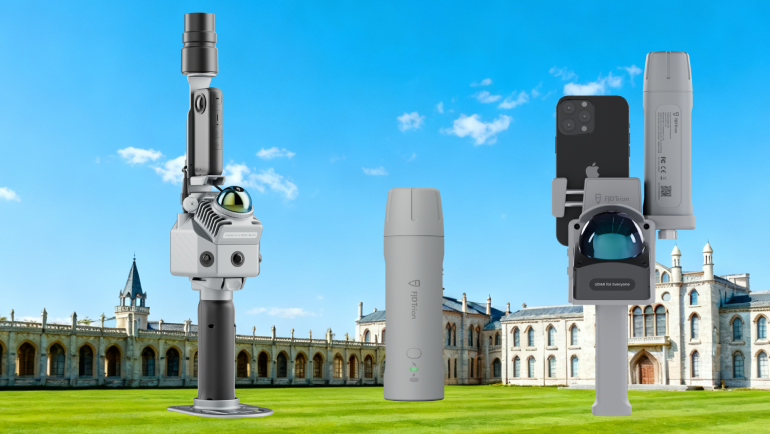
Not all 3D scanning projects require the same level of accuracy, range, or complexity. This guide helps you quickly identify which FJD Trion scanner best fits your workflow, environment, and budget.
Step 1: What Type of Environment Do You Scan?
Indoor, Mixed Indoor & Outdoor, Mobile Workflows
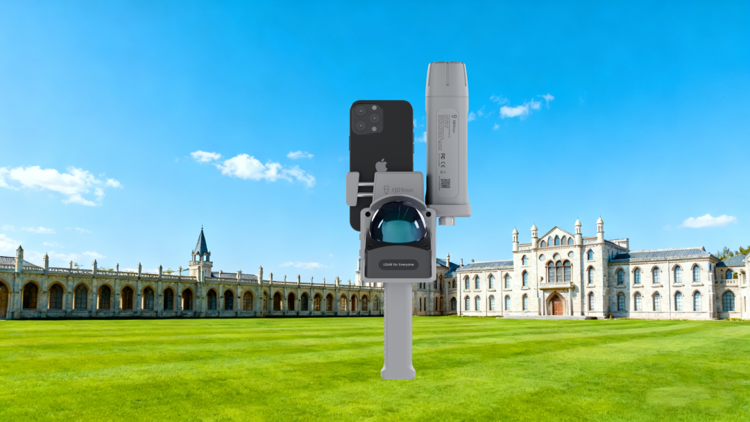
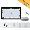
- Smartphone-based, ultra-portable
- Works indoors without GNSS and outdoors with RTK
- Ideal for fast deployment and flexible scanning
Best for:
Facility mapping, indoor BIM, utilities, property documentation
Outdoor, Complex or Urban Environments
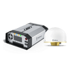
👉 P2
- Strong Multi-SLAM fusion
- Longer scanning range
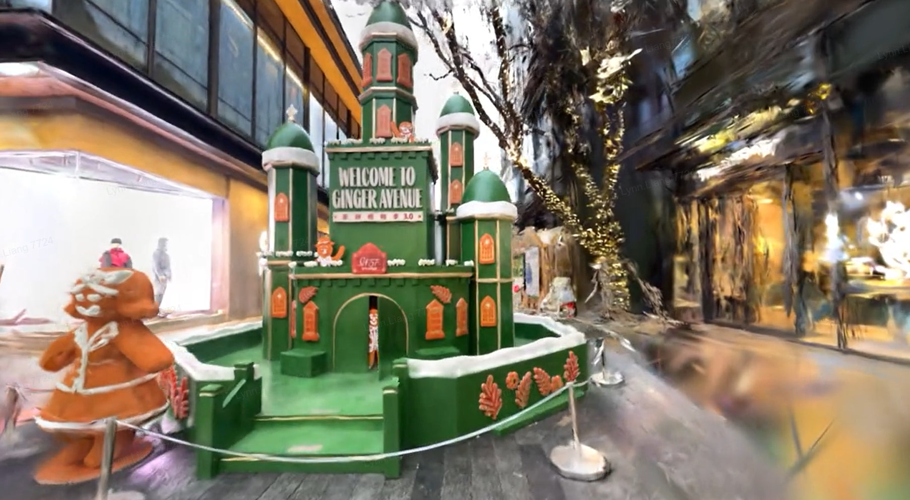
- Designed for high-quality georeferenced point clouds and 3DGS
Best for:
Urban mapping, infrastructure, land surveying, digital twins
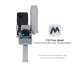
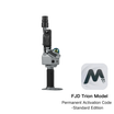
Entry-Level, Budget-Friendly, Easy Reality Capture
👉 P1
- Simple, plug-and-play LiDAR scanning
- No complex calibration
- Excellent balance between performance and affordability
Best for:
AEC, property management, public safety, media & visualization
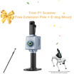
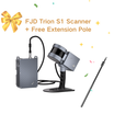
Large-Scale, Long-Range, Harsh Environments
👉 S1
- Longest scanning range
- Highest point cloud density
- Works underground without GNSS
Best for:
Mining, tunnels, forestry, large industrial sites
| Parameter | V4e LiDAR | P2 | P1 | S1 |
|---|---|---|---|---|
| Scanning Technology | LiDAR + SLAM + RTK | LiDAR + Multi-SLAM + RTK | LiDAR + SLAM | LiDAR + SLAM |
| Point Rate | 154,600 pts/s | 200,000 pts/s | 200,000 pts/s | 320,000 pts/s |
| Scanning Range | Up to 50 m | Up to 70 m | Up to 70 m | Up to 120 m |
| Accuracy | 3 cm (post-processed) | RTK: mm–cm level | Relative ≤ 2 cm | Relative ≤ 2 cm |
| Weight | ~860 g | ~700 g (scanner only) | ~1 kg | 1.8 kg |
| RTK / Georeferencing | Optional via V4e RTK | Standard | Optional (Camera + RTK) | Not required |
| Your Priority | Best Choice |
|---|---|
| Survey-grade, RTK accuracy | P2 |
| Practical accuracy with easy workflow | V4e LiDAR |
| Simple, fast scanning with low learning curve | P1 |
| Large-area relative accuracy | S1 |
Step 4: Workflow & Output Needs
-
Need 3D Gaussian Splatting (3DGS)?
👉 P2 (Best) | V4e LiDAR (Supported) -
Need fast mobile preview & quick delivery?
👉 V4e LiDAR / P1 -
Need dense point clouds for engineering-scale projects?
👉 S1
Quick Decision Guide
| If you are... | Choose |
|---|---|
| BIM or facility professional | V4e LiDAR |
| Professional surveyor or city mapper | P2 |
| New to LiDAR or budget-conscious user | P1 |
| Mining / tunnel / forestry professional | S1 |
| Focused on digital twins & visualization | P2 / V4e LiDAR |
| Need lightweight & fast scanning | V4e LiDAR / P1 |
Final Recommendations
-
V4e LiDAR
Best all-round solution for mobile indoor & outdoor scanning. -
P2
High-end choice for accuracy-critical outdoor mapping and 3DGS. -
P1
Affordable, easy-to-use LiDAR for fast reality capture. -
S1
Heavy-duty scanner for large-scale and long-range environments.
Need Help Choosing?
Our team can recommend the right scanner based on your application, accuracy requirements, and budget.
👉 Contact us for a personalized recommendation.
👉Recommended Products https://shop.fjdynamics.com/collections/3d-modeling